Develop a
National Land Use Plan (in French, PNAT, Plan National d’Affectation des Terres) to limit future emissions and enable economic development. The PNAT will plan and guide the expansion of land use-based economic activities, for example, through agriculture, enable the optimal allocation of forest areas to different uses, excluding, to the extent possible, primary forests and High Conservation Value (HCV) and High Carbon Stock (HCS) areas. The PNAT will update and provide access to a robust database, integrating a LULUCF sector climate change vulnerability map and a map of the development potential of the agricultural, forestry, mining and petroleum sectors developed by the programme. Finally, a law proposed to Parliament will ensure that the PNAT continues to be implemented after the project ends.
2. Finalise a
National Natural Resources and Forestry Observation System (SNORNF) in order to locate and specify which forest areas can be used for which purposes and to effectively monitor PNAT implementation. This will enable monitoring changes in national forest cover and to detect deforestation events, including an alert system, to understand which sectoral activities have an impact on forest conversion. The SNORNF will also improve the accuracy of data on carbon stocks and flows in the LULUCF sector that are reported under the Climate Convention.
Develop a
National Land Use Plan (in French, PNAT, Plan National d’Affectation des Terres) to limit future emissions and enable economic development.
- The PNAT will plan and guide the expansion of land use-based economic activities, for example, through agriculture.
- The plan will enable the optimal allocation of forest areas to different uses, excluding, to the extent possible, primary forests and High Conservation Value (HCV) and High Carbon Stock (HCS) areas.
- The PNAT will update and provide access to a robust database, integrating a LULUCF sector climate change vulnerability map and a map of the development potential of the agricultural, forestry, mining and petroleum sectors developed by the programme.
- A law proposed to Parliament will ensure that the PNAT continues to be implemented after the programme ends.
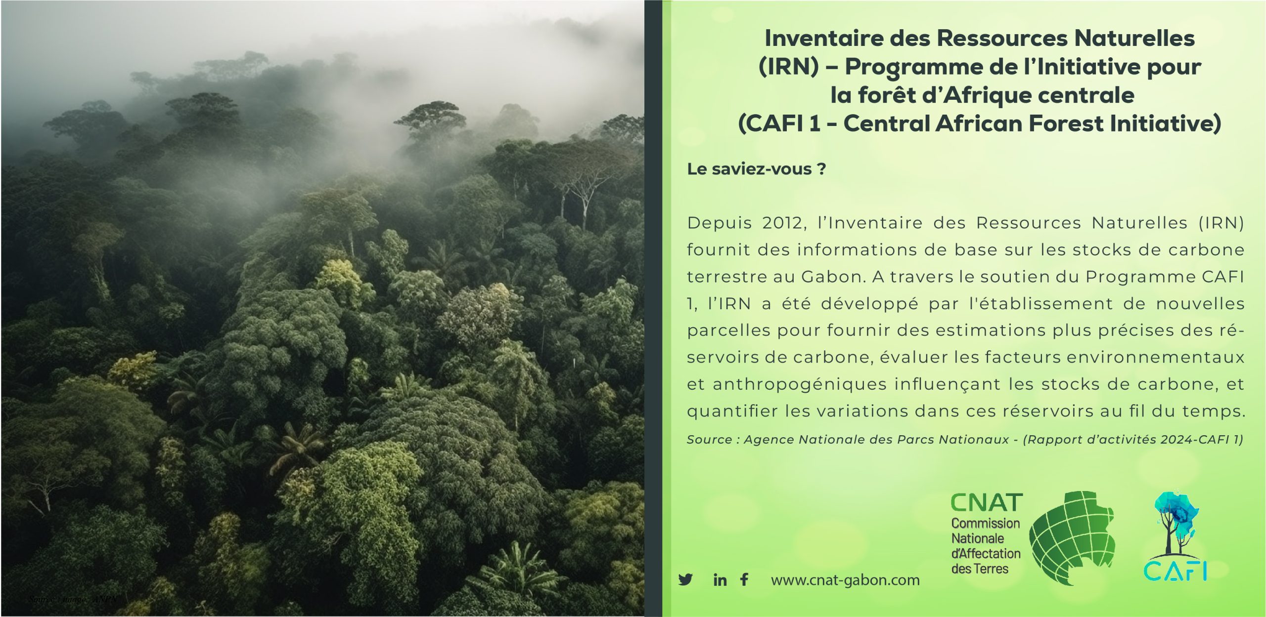
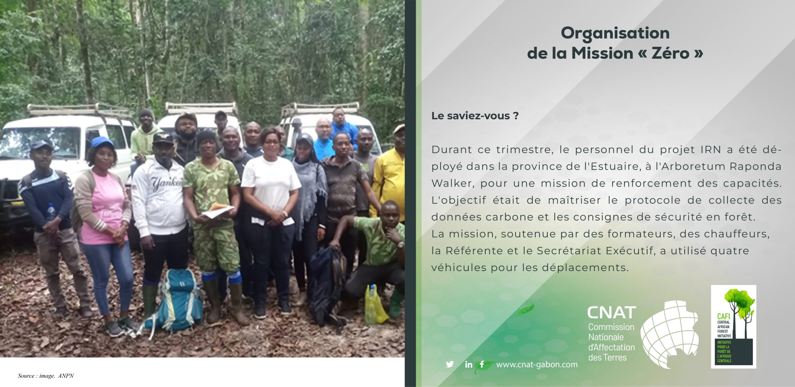
2. Finalise a
National Natural Resources and Forestry Observation System (SNORNF) in order to locate and specify which forest areas can be used for which purposes and to effectively monitor PNAT implementation. This will enable to monitor changes in national forest cover and to detect deforestation events, including an alert system, to understand which sectoral activities have an impact on forest conversion. The SNORNF will also improve the accuracy of data on carbon stocks and flows in the LULUCF sector that are reported under the Climate Convention. A mapping of village land will clarify land rights across the country. Participatory, geo-referenced and accessible village maps will be developed to define land use areas and improve knowledge of rural land tenure. In the field, a Natural Resources Inventory (NRI) will collect data on forest biomass, carbon and biodiversity. The NRI will include 500 permanent plots and 200 to 300 biodiversity transects. The data will help to refine the national map of HCV and HCS areas in Gabon.A mapping of village land will clarify land rights across the country. Participatory, geo-referenced and accessible village maps will be developed to define land use areas and improve knowledge of rural land tenure. In the field, a Natural Resources Inventory (NRI) will collect data on forest biomass, carbon and biodiversity. The NRI will include 500 permanent plots and 200 to 300 biodiversity transects. The data will help to refine the national map of HCV and HCS areas in Gabon.